July 1 on the TranAm
Having gotten ourselves to Slate Creek Campground last night, we were just over 10 miles from White Bird and the legendary White Bird Hill. The hill is–in total–a climb of about 12 miles with the first 8.5 miles being composed of 19 switchbacks. Looking from below, Rocky commented about one part of the climb, “Daddy, that looks impossible on a bike!” But praise be to God, we reached the hill and slowly but surely made our climb up it. All-in-all it wasn’t that bad. I confess that I approached it with trepidation. Riding the 10 miles to it, I kept thinking, “I’m not looking forward to this.” But I committed it to prayer, put off the fear, and just kept pedaling. The climb was long but very beautiful. We kept looking back over the hill we were conquering, looking back down to the small town of White Bird (pop. 91), and thinking, “We’re doing it! Look how far we’ve come!”
Before long we were at a summit-of sorts–took our last picture of the huge valley below, and headed on to cover the remaining 3.5 miles of climbing to the official summit. Sadly, we forgot to get a picture of it but it was quite the climb to the summit. The reward was a visit to the White Bird Summit Lodge, a home/lodge filled with wild game from all over the world. The husband and wife team have been hunting wild game all over the world since 1985. The walls were filled with mounts from the typical moose, elk, and bear to the unusual bison, baboon, zebra, and giraffe! It was like going a world zoo. They were very kind to let us look aroun, use the restroom, and fill up our water bottles.
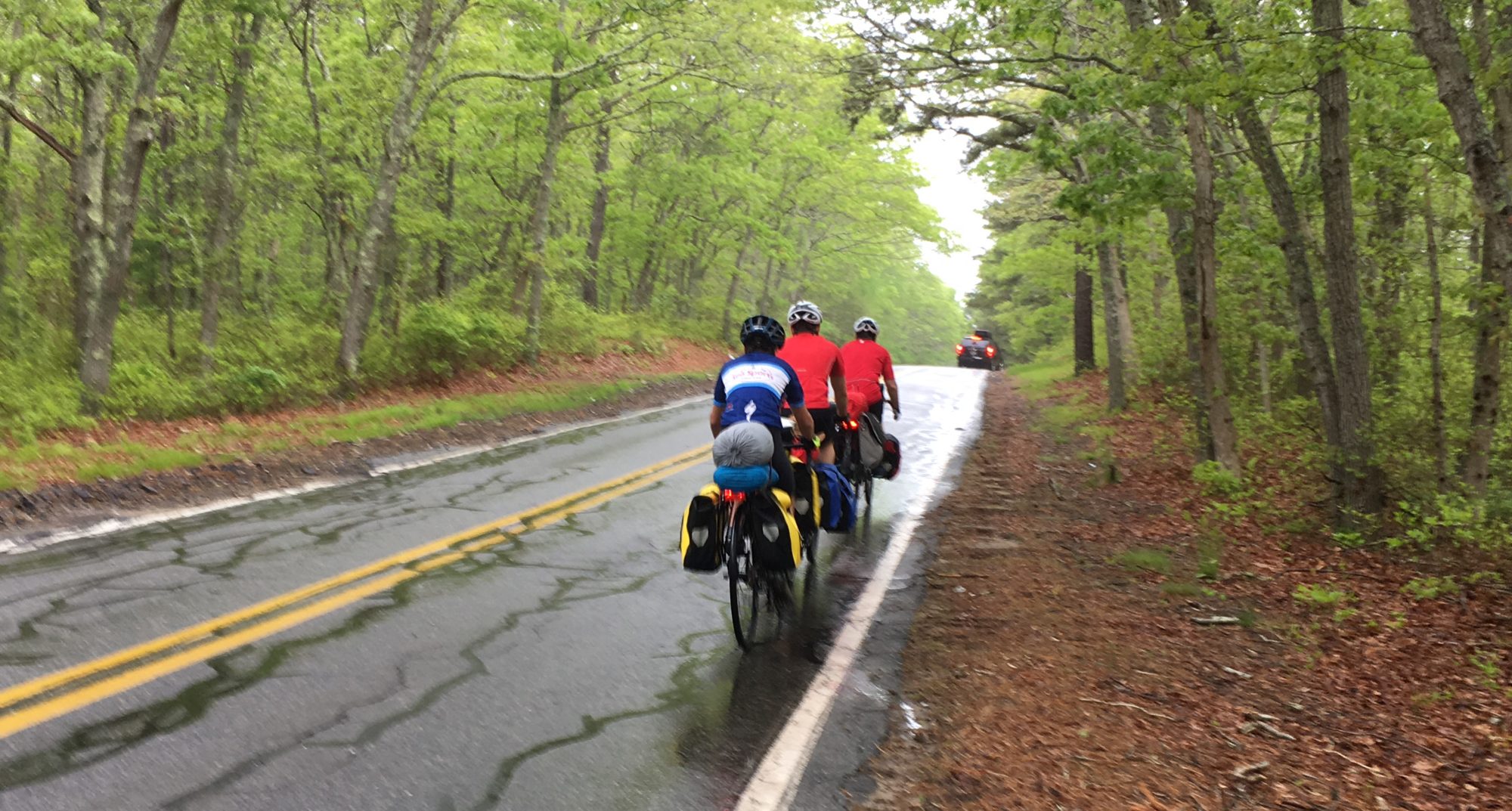
The ride down to Grangeville was a blast full of twists of turns at high speed. We stopped in Grangeville for lunch and headed to Kooskia where we would meet up with Chantry and the girls for the Lord’s Day. The ride out of Grangeville was surprisingly hard. The elevation profile map pictured sawtooth hills, which, to me, looked benign and insignificant. Boy was I wrong! The road took us through farms and met us with rolling hills for over 15 miles. The downhills were great but the uphills were so steep that we all (yes, even Forrest 🙂 had to walk our bikes up several of them. Our consolation? We heard that there was an awesome downhill coming, just before Kooskia–and we found it. It’s called Lamb Grade Rd. and it was the steepest and scariest hill we’ve been on yet. It was an 11-13% grade hill full of switchbacks and covered in gravel. We rode our brakes all the way down and couldn’t take most turns any faster than 5 miles an hour lest we slide across the lanes and down into oblivion. It had its fun moments, but they were few and far between the many scary moments. After we reached the bottom I said, ‘I am so glad we didn’t have to go up that hill!”
The directions on my map from the bottom of that hill were not accurate and we took a wrong turn, going 1.5 miles in the wrong direction. Unable to find our next turn (which was supposed to be at a mile), I stopped and tried to regroup. Of course, we had no service and no way of reorienting ourselves. All I knew is that we were definitely lost. Forrest had saddle sores so badly that he wanted to stop right where we were and have Mama come to get us. I reminded him that we had no reception and that Mama would be waiting for us in Kooskia. So we had to get back on our bikes and, one way or another, get ourselves to Kooskia. Soon a lady walked out to the road and waved us over. She could tell we were lost and proceeded to give us directions to Kooskia. We thanked her and started back. Her directions soon aligned with my map and we were back on track. We rolled into Kooskia at about 4:00 and I borrowed a phone to call Chantry–not sure why I thought she’d have service since we didn’t :/ But providentially she was in Grangeville and I got through to her to let her know we were in Kooskia. She had gotten to Kooskia a lot earlier, tried to find us, and when she couldn’t she headed back to Grangeville thinking that we’d stopped there instead (since that was the last time we’d been able to speak on the phone). So we hung out in the parking lot of Napa Auto Parts and waited for a good hour for her and the girls to arrive.
What a glad reunion it was when they showed up! Chantry had already booked 2 nights for us at the KOA in Kemiah so we headed straight there and settled down for the night. Tomorrow we planned to attend the First Indian Presbyterian Church just down the road from there.


July 2-3 on the TranAm
Kooskia/Kemiah are on the Nez Perce Indian reservation so I was looking forward to attending the First Indian Presbyterian Church near the KOA. It’s the oldest church in Idaho (1871). We pulled in 10 mins before service started and the parking lot was empty. Strange. We waited a few minutes and then decided to drive into Kemiah to the Second Indian Presbyterian Church. This parking lot was also empty. Was anyone having church today!? We drove to the gas station across the street to ask if she knew anything about the Indian church. She said, “What Indian Presbyterian church?” So we drove next door to the grocery store and stopped an Indian lady in the parking lot. She proceeded to tell me that the Indian Presbyterian were all celebrating some special event at a special place 30 miles away. Time to look for another church. It’s already 10:15. The Indian lady directed us to several churches in town so we drove through looking to see what we could find. We passed a Catholic Church. We passed a Lutheran church whose service was just ending. We passed a Presbyterian church with a female pastor. We passed an Assembly of God church with a husband & wife team as pastors. It was getting late now. Finally, we came to a Nazarene church whose service started at 11 AM. Looks like this is what the Lord had for us.
The service was full of choruses and instead of a sermon a member of the congregation gave his testimony. We had lunch with Mody and Dawn Bass and returned for the 6 PM Bible study. The Bible study was attended by the elderly of the church. No kids. No pastor. It was taught by a member of the congregation. We missed the preaching of the Word that day but the fellowship with the saints there was sweet. In fact, one of the members sent us away with a cooler full of freshly smoked salmon and steelhead. Moreover, Mody and Dawn turned out to be a real blessing. We decided to stay over for an extra day and, having a hint from something Mody said to me on Sunday, we checked out of the KOA by 11:00 and headed to Mody’s house. They were surprised and delighted to see us and took us right in. We had a great day. They thoroughly spoiled us. They fed us well, we shot arrows, played horseshoes, shot his .22, rode his ATV, and roasted hot dogs and marshmallows. We all had a blast and felt at home away from home. We stayed the night with them and were sent on our way in the morning. They treated us like their own kids and thanked us for coming by. Thank you Mody and Dawn!! You guys are the best 🙂 God bless you both.


This is a video of Mody calling a Bull Elk.
July 4-5 on the TransAm
We spent the Fourth of July enjoying a beautiful ride along Highway 12 out of Kooskia on the way to Missoula. Given our time with the Basses, and an immediate flat tire on Rocky’s bike, we had a late start. We didn’t get rolling until 11:30. The road was narrow with no shoulder but given the holiday the number of cars and semis on the road were minimal. We biked well into the dark, not stopping until 10:30, using our headlight for the first time for night riding. It was much later than we wanted to go, but once again, it was a matter of trying to get to the next Campground. We stopped at Jerry Johnson Campground about 10 miles shy of Powell, the base of our next climb, Lolo Pass.
We got an early start on July 5th, deciding to stop for breakfast at Lochsa Lodge in Powell. After breakfast we headed up the Pass, a climb of 12 miles. It was as hot as a pistol and the road had very little shoulder; but thankfully the traffic was still at a minimum. We reached the Pass within 3 hours and gladly crossed the state line into Montana at the summit at around 2:45.
The ride down into Lolo and then on into Missoula was nondescript and on a gradual downhill. We were able to ride most of the 47 miles at 12-14 mph putting us into Missoula at about 7:30.
When we got into Lolo we finally had reception, allowing me to catch up on texts and call head to the Shady Sprice Hostel and reserve the last three beds. Thank you Lord. We met some nice cyclists, especially Malcolm Foley from FL. He started in Yorktown and is heading west to Astoria. Go Malcolm! He gave us some great advice about the road ahead. Thanks Malcolm!


Today we visited the Adventrue Cycling Association to have our picture taken, sign the guest book, and have our bikes weighed. Turns out, Forrest’s bike weighed in at 92 lbs, Rocky’s at 82, and mine at 94. The boys were missing a little more weight because we’re low on food and I’m down about 4 lbs because Forrest was carrying my hammock (although I told him I’d carry it from here :). Thank you Forrest.
I’m typoing all this at the Green Hanger Laudromat while doing laundry and waiting for the bikes to get a quick onceover at a local bike shop. We’ll obviously have lunch here and only get a half-day’s riding in. But it was a worthwhile stop all the same.

Until next time… 🙂


